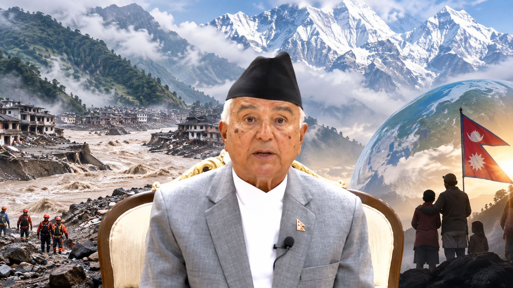
Scientists say warming, glacier retreat, thawing permafrost and increased meltwater likely weakened the Langtang Lirung slope before the deadly August collapse and floods.
The researchers say the disaster cannot be attributed to climate change alone. Instead, long-term warming appears to have acted as a destabilising factor on a geologically vulnerable mountain slope, alongside factors including glacier retreat, permafrost degradation, meltwater and the possible long-term effects of the 2015 earthquake.
The findings provide new insight into the chain of events that produced the devastating flood along the Bhotekoshi and Trishuli river corridors.
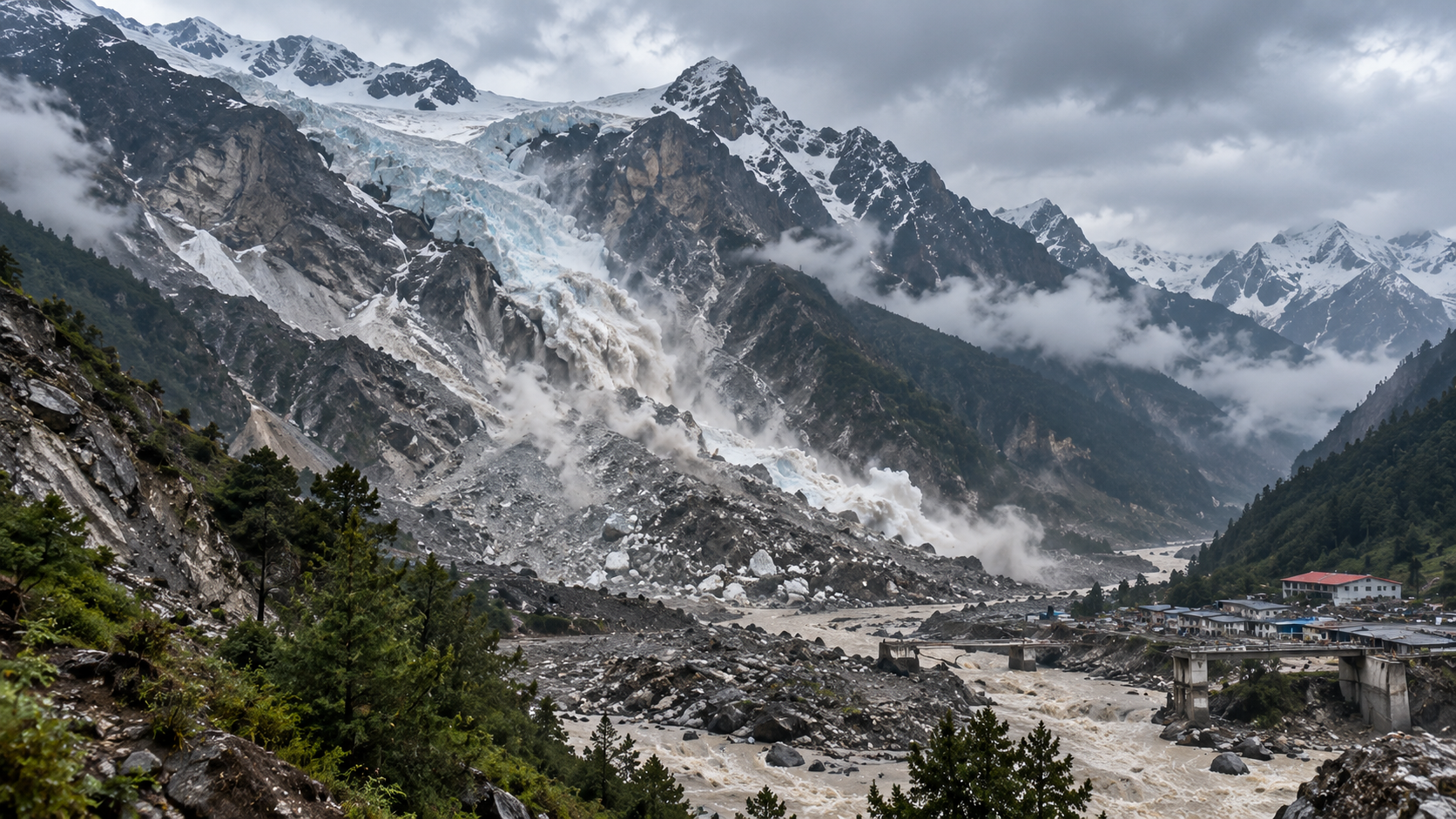
On August 26, a large section of rock and glacier ice broke away from the Langtang Lirung area at an elevation of roughly 5,150 metres.
The collapsing material travelled about 1,400 metres vertically before reaching the valley. The resulting rock-and-ice avalanche transformed into a debris flood and then a powerful flash flood, carrying water, ice, rocks and sediment downstream.
The event was so energetic that seismic instruments initially detected a signal resembling an earthquake.
Researchers estimate that the avalanche travelled extremely rapidly, reaching the Rasuwagadhi border area about 22 kilometres downstream within minutes. The resulting flood devastated settlements, roads, bridges, hydropower infrastructure and border facilities before continuing through the Trishuli corridor.
The WWA analysis points to several climate-related changes that may have weakened the slope over time.
Glaciers in the region have been losing mass for decades, with thinning equivalent to more than half a metre each year. Retreating ice can change the stresses acting on adjacent rock walls and reduce the support provided by glaciers.
Permafrost is another concern. At high elevations, permanently frozen ground can help hold fractured rock together. As temperatures rise and ice within fractures thaws, the bonding strength of the rock can decline. Meltwater can also increase pressure inside existing fractures.
The researchers also found that the freezing level has been moving upward by roughly 100 metres per decade in recent decades during the monsoon and post-monsoon seasons. Such changes can influence permafrost stability, glacier melt and the balance between rainfall and snowfall at high elevations.
The months immediately before the collapse were exceptionally warm.
According to the WWA analysis, July and August 2026 were substantially warmer than the long-term average around the failure location. Researchers estimate that human-caused climate change contributed about 1.5 degrees Celsius to the July-August temperature increase in the analysed region.
The study also points to unusually high precipitation in October 2025 and subsequent warmth as possible contributors to increased meltwater availability.
More rainfall instead of snowfall at high elevations can also provide water directly to mountain slopes rather than temporarily storing it as snow. That additional water may increase pressure within fractures and contribute to instability.
Climate change was not the only factor under investigation.
A magnitude 7.8 earthquake in 2015 caused a major rock-and-ice avalanche in the same mountain area. Scientists say the earthquake may have weakened the underlying rock mass and left geological vulnerabilities that persisted for years.
However, researchers say the precise contribution of the 2015 earthquake to the 2026 collapse cannot yet be established.
The emerging picture is therefore of a compound disaster: a naturally unstable geological setting interacting with long-term warming, glacier retreat, permafrost degradation, meltwater and unusual temperatures.
The findings also highlight a challenge for disaster preparedness in the Himalayas.
Nepal has developed early-warning systems for several types of floods and other hazards. But the August event developed through a rapid chain of processes beginning high on a mountain slope, leaving little time for conventional downstream warning systems to respond.
The WWA researchers say hazards of this complexity and speed can exceed the predictive and design limits of existing risk-reduction systems.
They call for stronger high-altitude observation, improved hazard monitoring, better communication of risks and greater sharing of data across Himalayan countries.
The Rasuwa disaster demonstrates why climate risks in the Himalayas cannot be assessed only by looking at conventional rainfall-driven floods.
Changes in glaciers, permafrost, precipitation and mountain temperatures can interact with existing geological weaknesses and produce cascading hazards that are difficult to predict.
Scientists stress that climate change should not be described as the sole cause of the August collapse. Rather, the evidence indicates that warming conditions likely increased the vulnerability of an already unstable mountain environment.
For Nepal, the challenge now extends beyond responding to a single disaster. Understanding how rapidly changing high-mountain conditions are altering future risks will be critical for infrastructure planning, early-warning systems, cross-border cooperation and the protection of communities downstream.
Comments
0 comments
Loading comments...