Continuous rainfall has increased the risk of flooding, inundation and riverbank erosion in Kanchanpur, with water levels rising in several rivers and streams across the district.
Heavy rainfall in the Chure hills over the past few days, combined with moderate rainfall in Kanchanpur, has pushed up water levels in rivers and streams. Rain was continuing across parts of the district on Sunday, raising particular concern in low-lying and riverside settlements.
The rising flow of the Doda River has increased the risk for settlements along its banks, particularly in Laljhadi, Belauri and Punarwas municipalities.
Local authorities have warned residents to remain highly alert as continued rainfall in the Chure region could further increase river levels.
Laljhadi Rural Municipality Chairperson Nirmal Rana said the Doda River had crossed a risk level following heavy rainfall. Authorities are preparing to move residents from vulnerable locations to safer areas if the situation deteriorates.
Punarwas Municipality has also issued warnings through SMS and IVR messages to residents of flood-prone areas including Ratatal, Simari, Dasharathbasti and Bikashbasti.
Officials have urged residents to stay away from river and stream banks and move to safer locations if conditions worsen. The municipality has also said it is prepared to activate sirens to alert communities in high-risk areas.
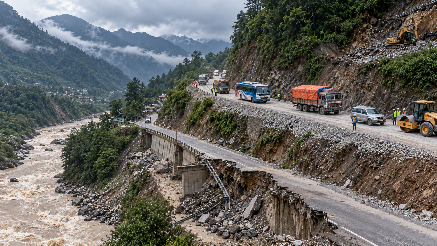
The continuing rainfall has already caused infrastructure damage.
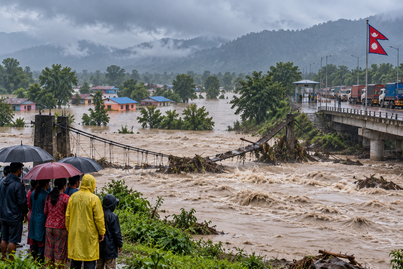
A suspension bridge at Ghatalthan in Baitadi, connecting wards 3 and 4 of Bedkot Municipality, collapsed after rising floodwaters damaged the structure.
According to municipal officials, floodwaters also damaged structures located around the bridge. Authorities have urged residents living near rivers to remain cautious as water levels continue to fluctuate.
The Mahakali River recorded a flow of approximately 150,000 cusecs by Sunday afternoon.
The sustained high water level has also disrupted movement through the Gaddachauki–Banbasa border crossing.
Four-wheeled passenger and cargo vehicles have been unable to operate through the crossing for six consecutive days after the river's flow remained above 100,000 cusecs. The restriction has affected passenger movement as well as trade and the import and export of goods through the western border.
Officials said the Mahakali had approached 200,000 cusecs during the night of Bhadra 16, reaching its highest level of the year before the flow began to decline. However, the level has remained above 100,000 cusecs, preventing the resumption of four-wheeled traffic across the Banbasa bridge.
The latest developments have prompted local authorities to intensify monitoring of rivers and vulnerable settlements.
The Department of Hydrology and Meteorology is also maintaining real-time monitoring of river levels and weather conditions across Nepal. Its current system provides flood information and early warnings, with the department urging people to use its emergency flood information service when necessary.
For residents of low-lying areas in Kanchanpur, officials are urging people not to take unnecessary risks, particularly near rivers, streams and damaged infrastructure.
With rainfall continuing, authorities remain prepared to evacuate vulnerable communities if water levels rise further.
HamroBichar will continue to monitor rainfall, river levels and flood risks in Kanchanpur and other parts of Nepal and provide verified updates as the situation develops.
Tags: Kanchanpur, Flood, Inundation, Mahakali River, Doda River, Heavy Rainfall, Belauri, Punarwas, Laljhadi, Gaddachauki, Nepal Weather, Sudurpaschim
Comments
0 comments
Loading comments...